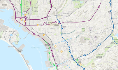
SANDAG has a well-recognized and award-winning Geographic Information System (GIS) program. Having used GIS technology since the early 1970s, we continue to apply GIS to support many planning applications including demography, transportation, land use, environment, public safety, and public facility siting and management.
Through the San Diego Regional GIS Council, we work with our members and other agencies to share GIS expertise, information, applications, and data. The Council has formed several subcommittees over the years to research new technologies in specific topical areas and share the results with other agencies in the region. We make many GIS layers available to the public and have instituted cooperative data-sharing agreements with other federal, state, and local agencies. Please read the Data Terms of Use.


