Final Regional Plan Adopted: On Friday, December 12, the SANDAG Board of Directors adopted the 2025 Regional Plan and certified its accompanying Environmental Impact Report. Final documents are available below.
Planning, our core responsibility, is where everything begins. It encompasses budgeting, data and research, community engagement, and more.
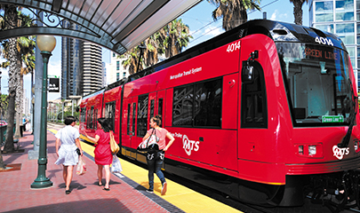
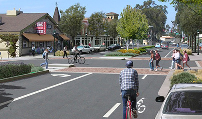
The Regional Plan is the guiding document for much of SANDAG’s work. It considers how we will grow, where we will live, and how we will move around the region, and then lays out a data-driven vision to achieve the near- and long-term goals of the region. The plan is updated every four years with input from the public and direction from the SANDAG Board.
Driven by Data and Public Feedback
Our data-driven planning process begins with the regional growth forecast which estimates population, housing, employment, income, and land use changes. SANDAG uses the latest available data, including the travel data we collect ourselves, to develop and evaluate the plan.
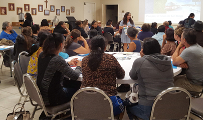
Residents, local governments, community organizations, and local transportation operators all help shape the plan. Recommendations from the California Air Resources Board (CARB) also provide critical input. Many of our major projects originated as part of the vision of the Regional Plan.
Components of the Regional Plan
The Regional Plan is three documents in one: