


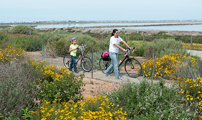
Active Transportation
Bikeways and walkways on streets or new off-street trails.
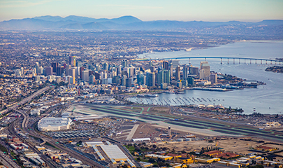
Airport Connection
Future transit service upgrades to improve links between San Diego International Airport and our regional public transit system.
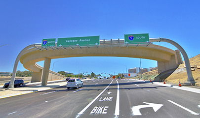
Arterials
Major streets in cities that move traffic quickly and connect to highways.
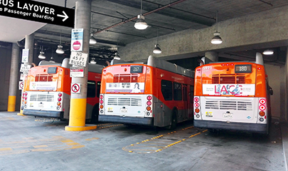
Bus Layover
Designated area where buses can wait between trips so drivers can take breaks, and where vehicles can be fueled, charged, or cleaned.
Circulator
A bus that comes frequently and stops at major local destinations in a specific area.
Direct Access Ramp (DAR)
A special highway entrance where buses, carpoolers, or people who pay a toll can directly enter managed lanes without having to merge from the right side.
Express Bus
Bus on a route that connects suburban areas to major urban centers with only a few stops at major destinations.
Express Lanes
These lanes are often free for carpools but allow solo vehicle drivers to use them for a fee. FasTrak is the system used for payment.
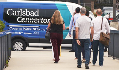
Flexible Fleets
On-demand, shared transportation services that help people reach their destinations or connect to transit.
Freeway Connector
A ramp that connects one highway to another.
Goods Movement
Projects that help ship goods faster on highways and trains, and within ports and airports, while improving air quality.
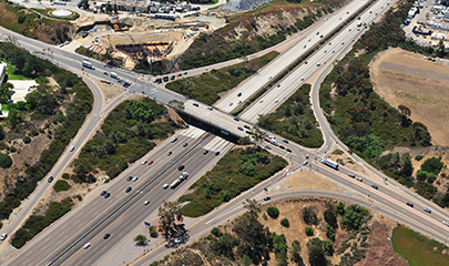
Interchange
Where a freeway and a major road or other freeway cross each other.

Local Bus
A bus on a route that travels around neighborhoods near each another.
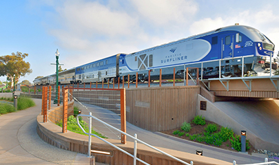
LOSSAN Improvements
Making the railway that connects San Diego to Los Angeles and San Luis Obispo safer, faster, and more efficient.
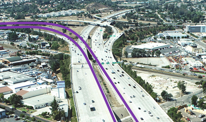
Managed Lane Connector
Ramps that connect managed lanes on different freeways.
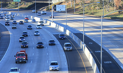
Managed Lanes (ML)
Separate highway lanes for multipassenger transportation (like buses or carpools) or people who pay a toll. Project descriptions describe total lanes before and after the project. e.g., “6F+2ML” means six freeway lanes plus two managed lanes.
Microtransit
On-demand public shuttle service for up to 15 passengers traveling 0.5 to 4.5 miles.
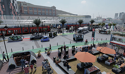
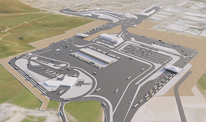
Mobility Hub
An area where many types of transportation connect (e.g., San Ysidro Mobility Hub).
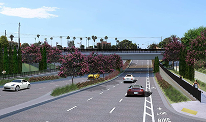
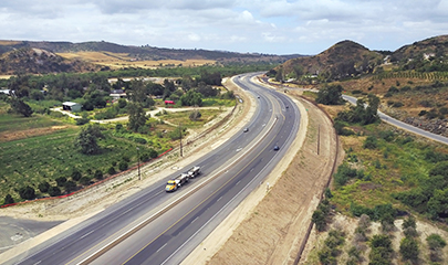
Multimodal Corridor Improvements
Projects that make all transportation on the same route more efficient, including walking, biking, transit, trains, and/or vehicles.
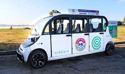
Neighborhood Electric Vehicle (NEV)
A type of microtransit that uses small, on-demand electric shuttles to carry up to six passengers traveling 0.5 to 2 miles. NEVs are allowed on streets with speed limits up to 35 miles per hour (e.g., gO'side in Oceanside).
Operational Improvements
Changes that help highway traffic flow (e.g., adding merging lanes, truck lanes, or upgrades to on- and off-ramps).
Otay Mesa East Port of Entry (OME POE)
A new U.S.-Mexico border crossing.
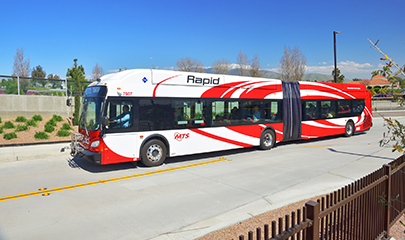
Rapid Bus
A bus route with limited stops that uses different infrastructure to get around traffic and decrease trip time.
Regional Rail and Light Rail
Projects that make rail trips more efficient by making improvements such as separating rail tracks from car traffic with a bridge (e.g., the Blue line Trolley or the SPRINTER)
Reversible Managed Lanes
A managed lane that can change traffic direction depending on the time of day or traffic conditions.
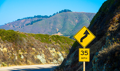
Rural Corridor and Intersection Improvements
Highway safety upgrades in rural areas (e.g., adding a shoulder, straightening a windy road, improving connections between streets and highways)
Shoulder Widening
Project that widens pavement on the side of a freeway for safety in case of emergencies.
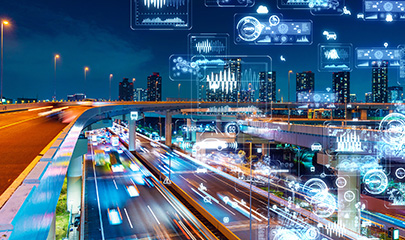
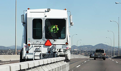
Transportation System Management
Projects that use data and technology to improve traffic flow, travel times, and transportation reliability.