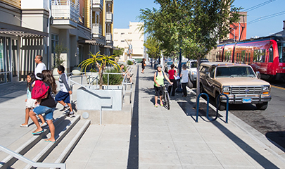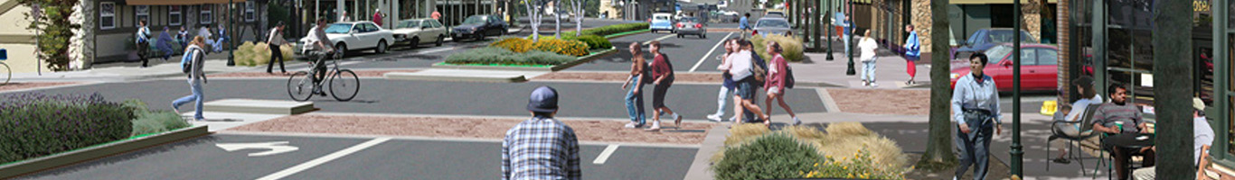
Sustainable Communities Strategy
As required by California Senate Bill 375 (Steinberg, 2008) (SB 375), we include a Sustainable Communities Strategy (SCS) in our Regional Plan. It uses up-to-date forecast data to inform a long-range plan that aligns transportation, housing, and land use decisions with climate and community goals to promote sustainable growth and reduce greenhouse gas (GHG) emissions for cars and light trucks.
The SCS is part of a broader state effort to promote sustainable development, enhance the natural environment, and improve quality of life. It analyses environmental justice considerations and compliance with Title VI and federal civil rights laws. It also establishes a process and specific activities for public participation during development of the plan.
Find the full SCS in Chapter 2 of the 2025 Regional Plan. Components of the SCS are also integrated throughout the plan.